<previous next> view play stop
Since your web browser does not support JavaScript, here is a non-JavaScript version of the image slideshow: Kiamichi River looking downstream from the US Highway 271 Bridge at Clayton Under the US Highway 271 Bridge at Clayton Under the US Highway 271 Bridge at Clayton Under the US Highway 271 Bridge at Clayton looking upstream Under the US Highway 271 Bridge at Clayton looking downstream Departing the US Highway 271 Bridge at Clayton The Kiamichi River below Clayton at 2,600 cfs The dirty water was due to rain run-off Approaching the first of several small ledges Downed trees were everywhere along the river Looking back upriver while drifting at about 4.8 mph with a flow of 2,600 cfs The rugged and natural Kiamichi River is a place of solitude Two SOAR Inflatable Canoes stopped for lunch along the river Looking downriver from about 5 miles below US Highway 271 Looking upriver at another small ledge drop Running a wave train with both hands on the camera Looking back upriver at the last ledge and wave train Stan Pully meandering down the swollen Kiamichi River More trees downed by recent major flooding A small campsite on river left made smaller by the high water Approaching the CR 4250 Bridge at about 8.8 miles below US Highway 271 at Clayton Trees jammed under the CR 4250 Bridge A jon boat that did not survive the flood More of the flooded Kiamichi River All you see is river, trees and sky - no signs of civilization! Another tree that fell victim to the recent flood The Kiamichi River flowing through the Ouachita National Forest The Kiamichi River above the first SH 2 crossing Stan Pully lillydipping his merry way downriver Trees that are normally on the river bank are in the river at 2,600 cfs The river just keeps rolling along carrying us with it The remains of an elevated footbridge long since destroyed by Mother Nature and time The imperceptible current carried us along at about 3 mph without paddling Approaching the first SH 2 Bridge The Kiamichi River below the first SH 2 Bridge Fallen trees constrict the entrance to a Class II rapid just above the second SH 2 Bridge Approaching the second SH 2 Bridge Trees show the effects of major flooding along the river channel Approaching Lost Mountain Approaching K River Campground The last bend before K River Campground The landing at K River Campground of river right
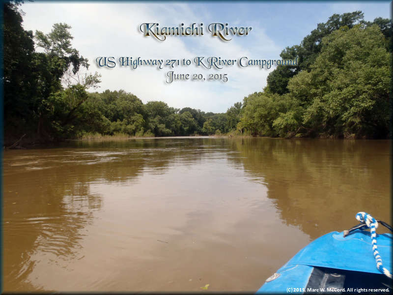
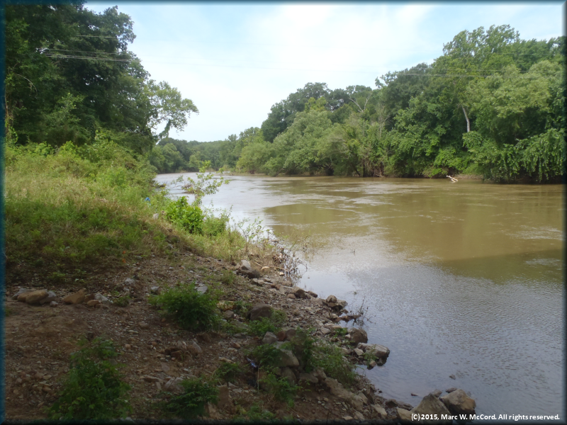
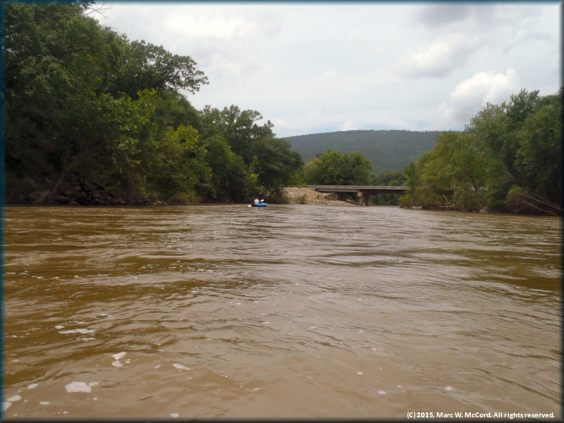
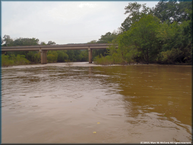
Kiamichi River looking downstream from the US Highway 271 Bridge at Clayton
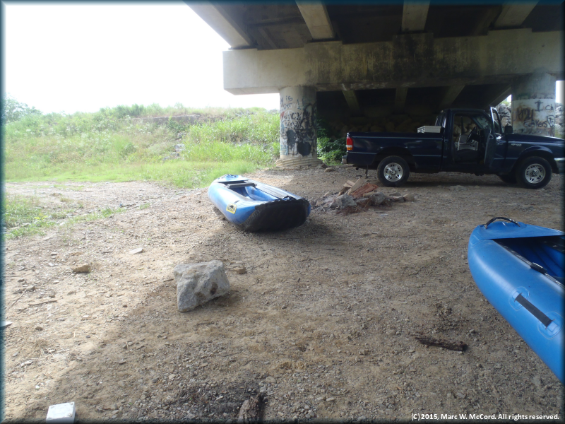
Under the US Highway 271 Bridge at Clayton
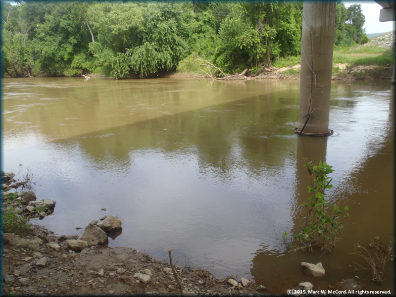
Under the US Highway 271 Bridge at Clayton looking upstream
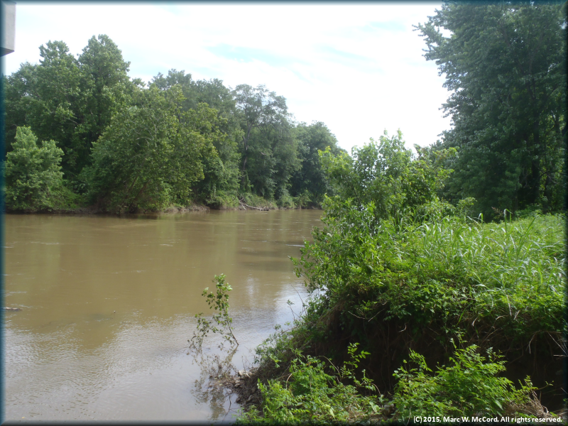
Under the US Highway 271 Bridge at Clayton looking downstream
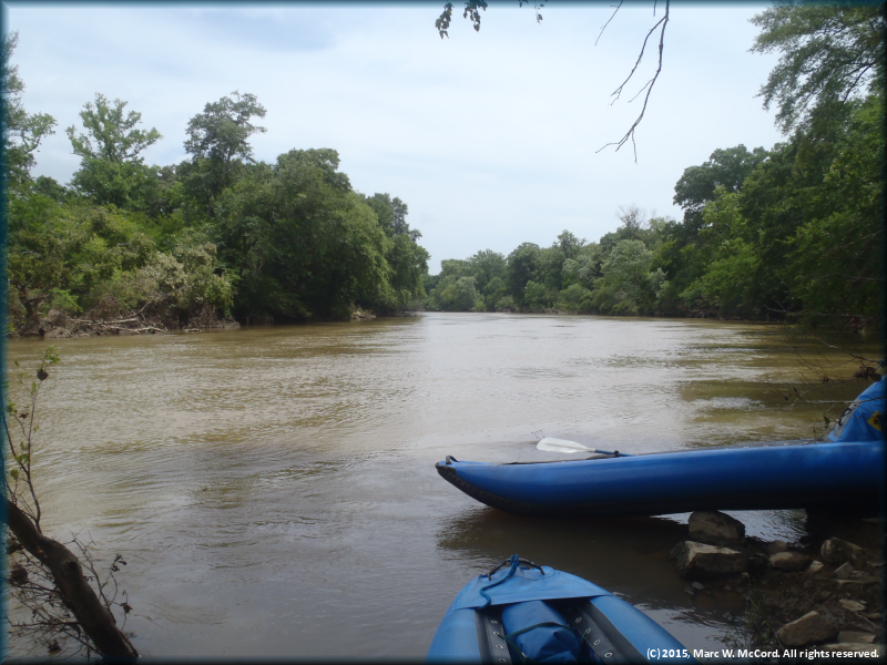
Departing the US Highway 271 Bridge at Clayton
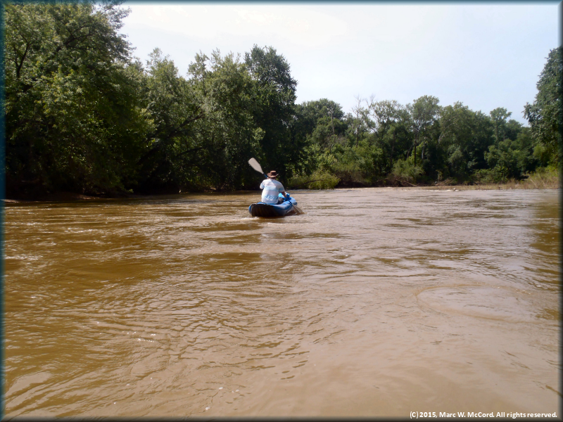
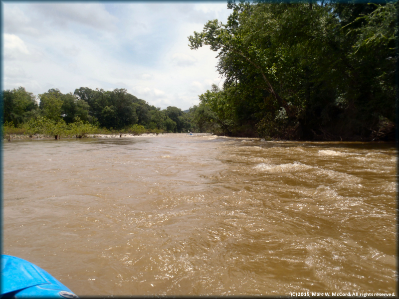
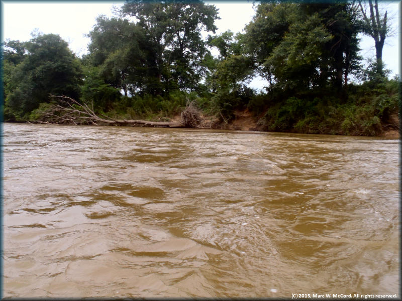
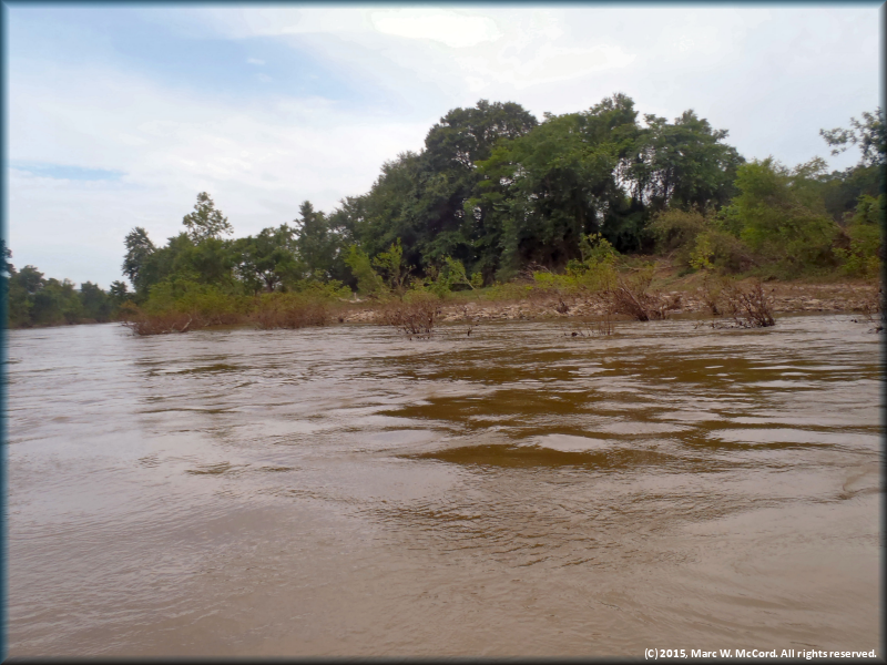
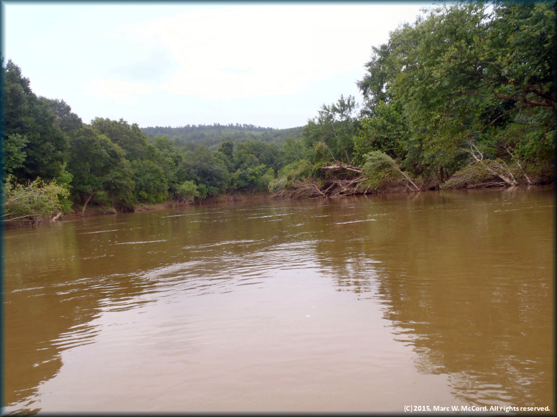
The Kiamichi River below Clayton at 2,600 cfs
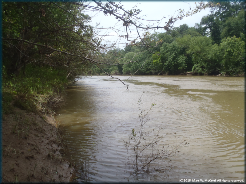
The dirty water was due to rain run-off
Approaching the first of several small ledges
Downed trees were everywhere along the river
Looking back upriver while drifting at about 4.8 mph with a flow of 2,600 cfs
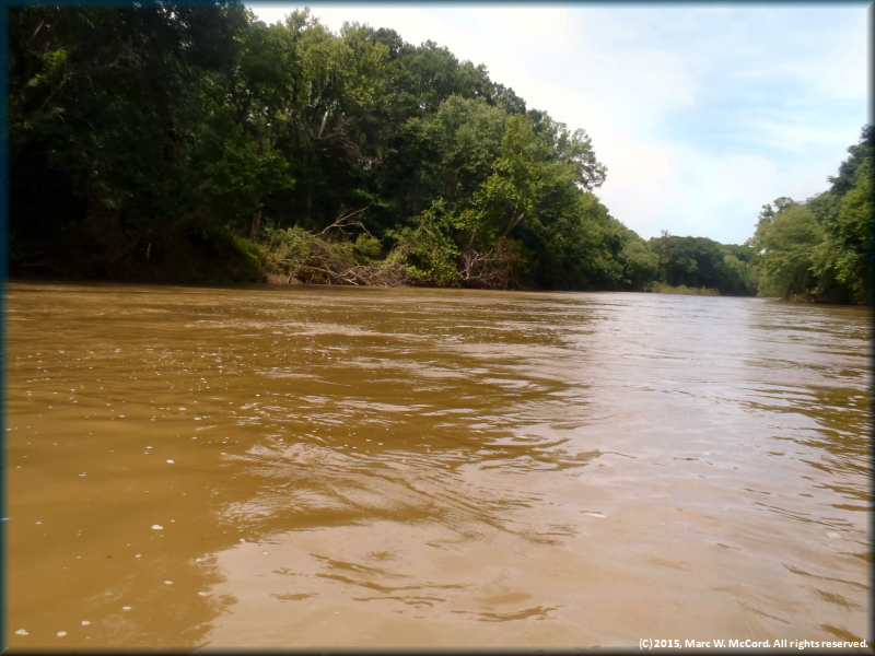
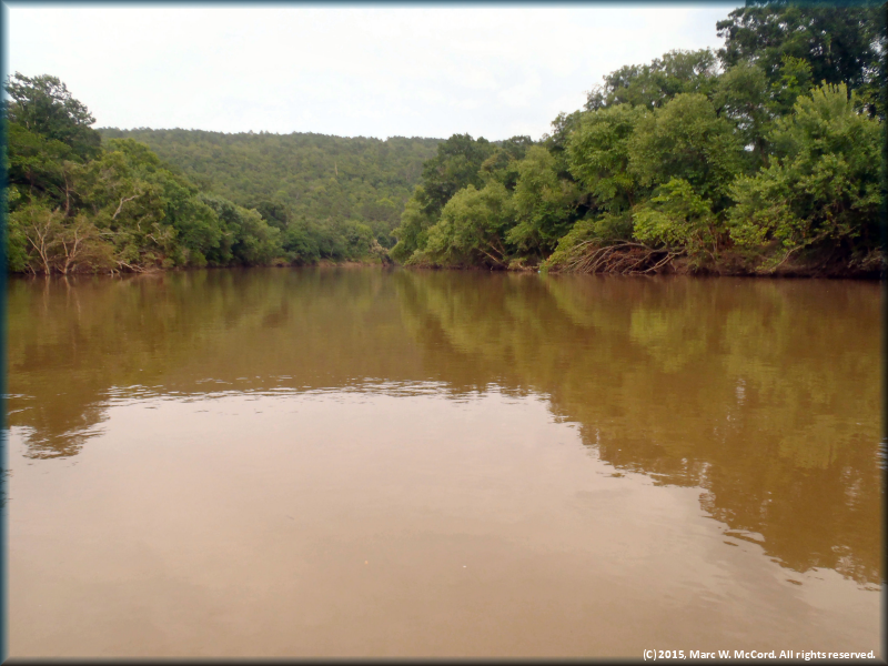
The rugged and natural Kiamichi River is a place of solitude
Two SOAR Inflatable Canoes stopped for lunch along the river
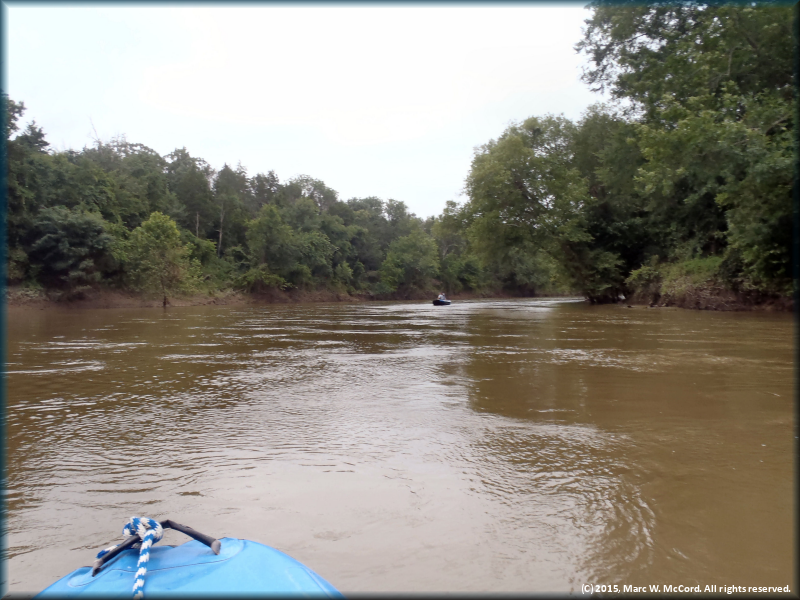
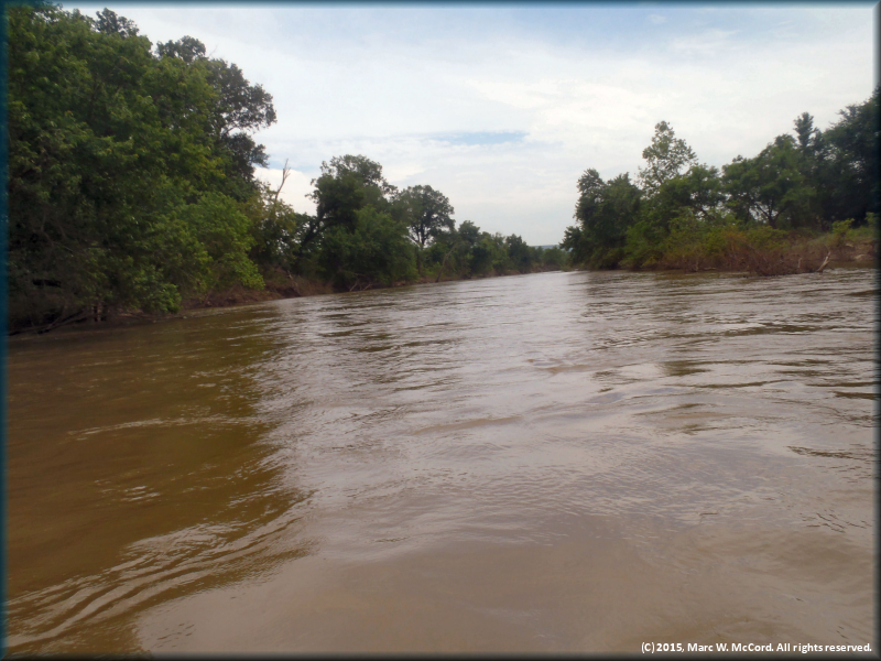
Looking downriver from about 5 miles below US Highway 271
Looking upriver at another small ledge drop
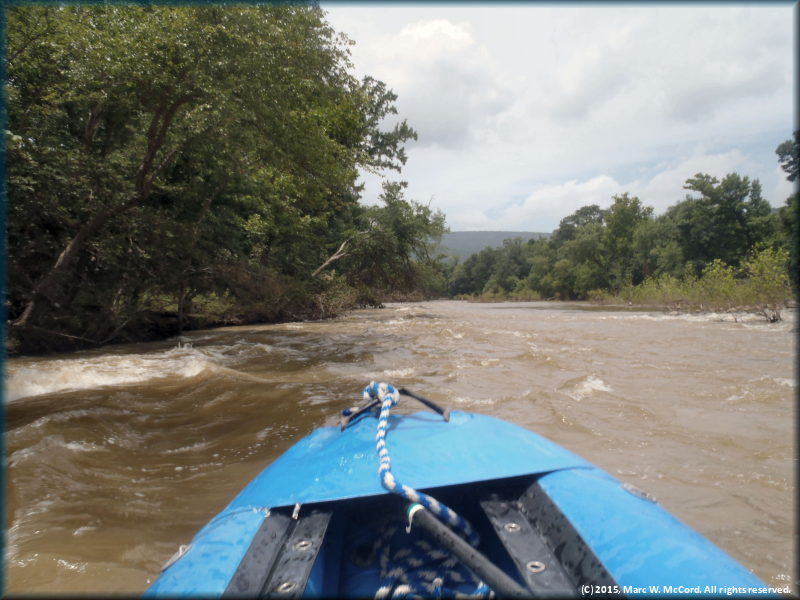
Running a wave train with both hands on the camera
Looking back upriver at the last ledge and wave train
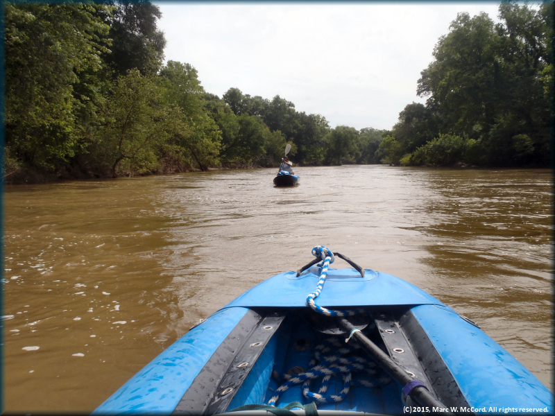
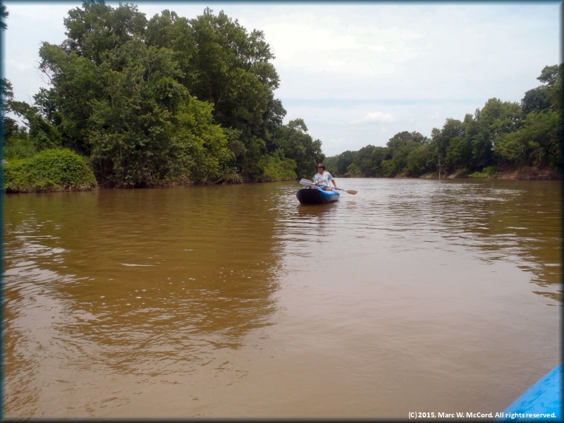
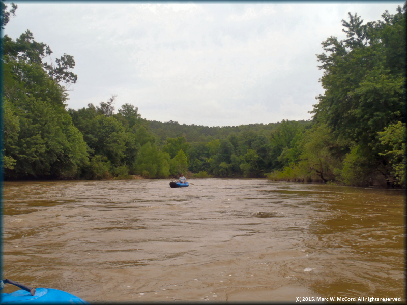
Stan Pully meandering down the swollen Kiamichi River
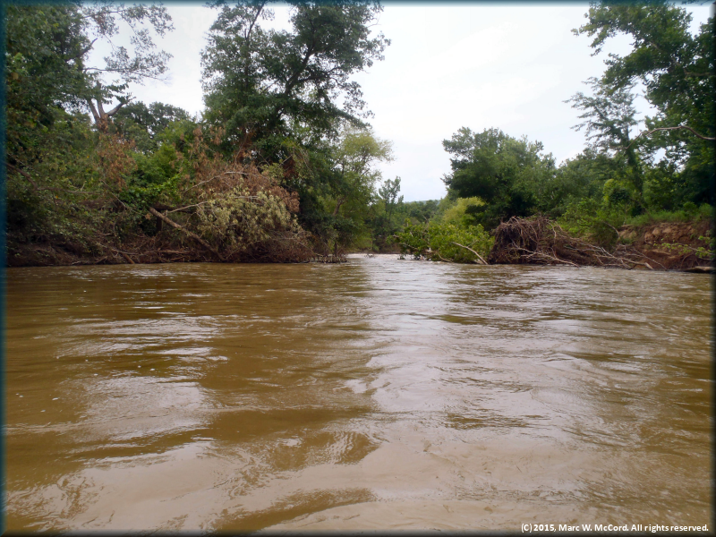
More trees downed by recent major flooding
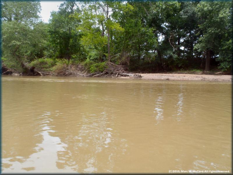
A small campsite on river left made smaller by the high water
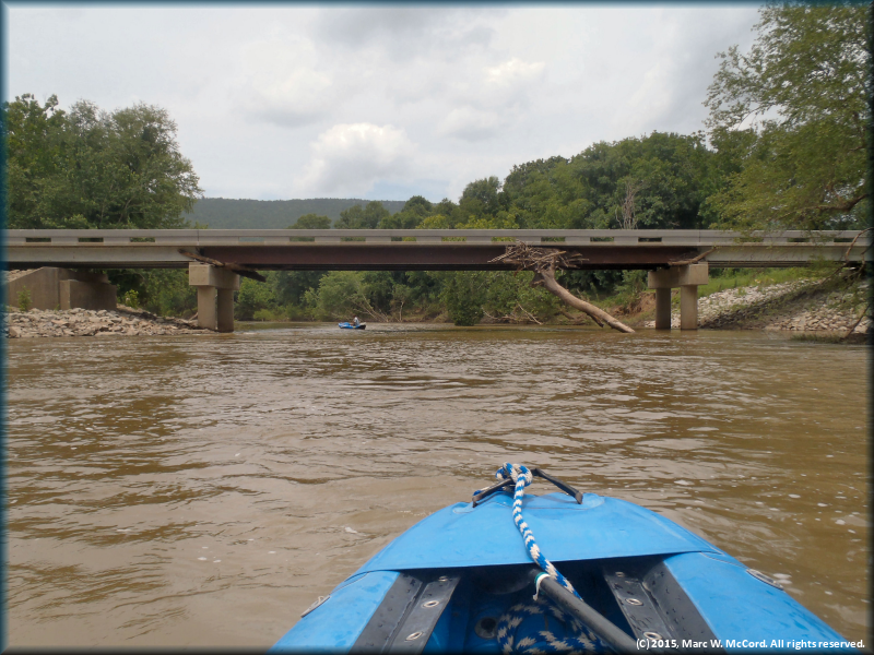
Approaching the CR 4250 Bridge at about 8.8 miles below US Highway 271 at Clayton
Trees jammed under the CR 4250 Bridge
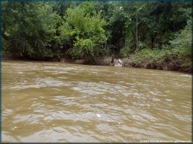
A jon boat that did not survive the flood
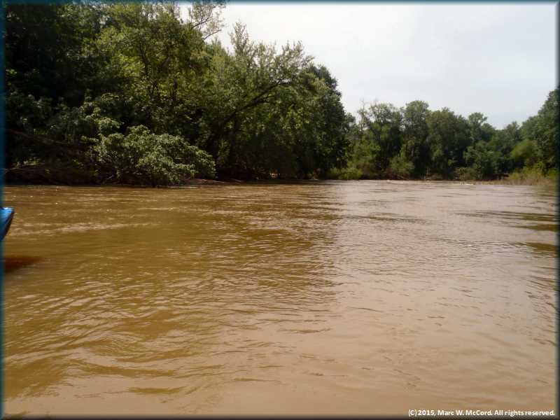
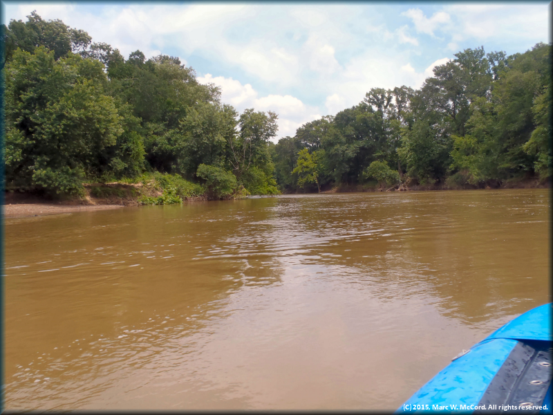
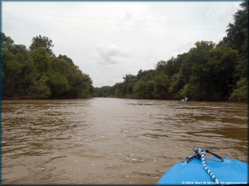
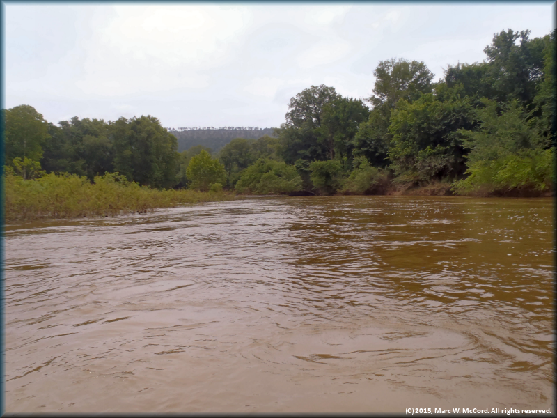
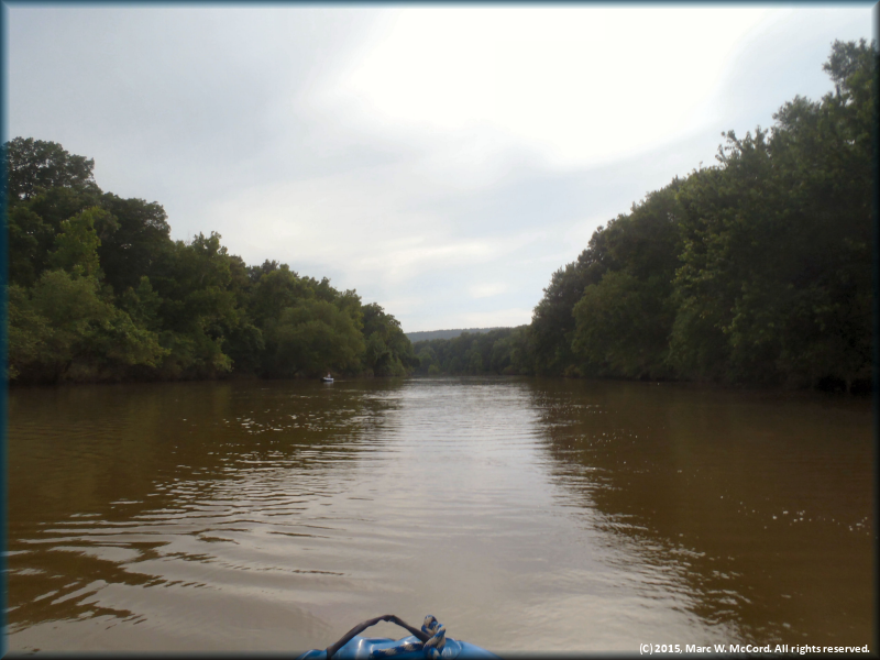
More of the flooded Kiamichi River
All you see is river, trees and sky - no signs of civilization!
Another tree that fell victim to the recent flood
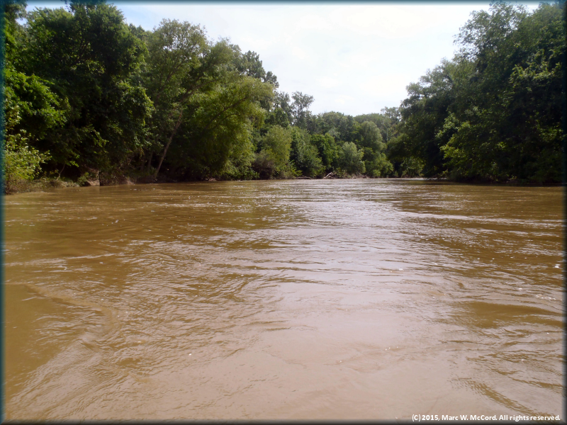
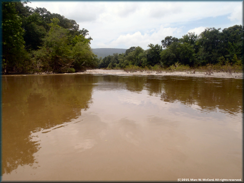
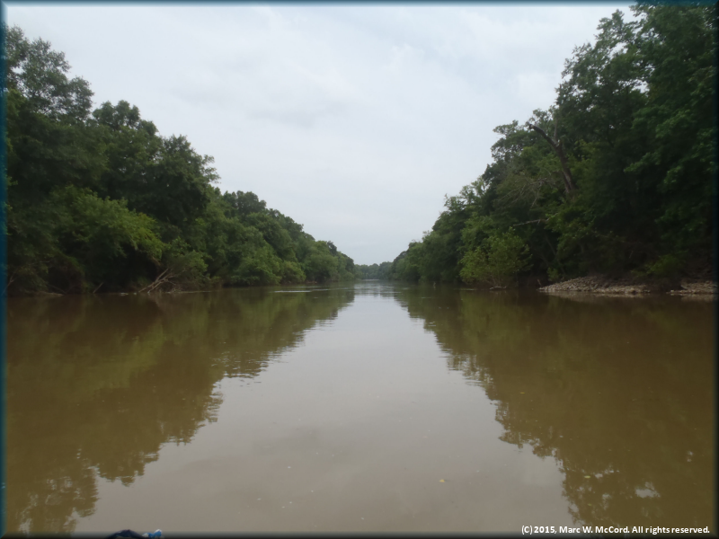
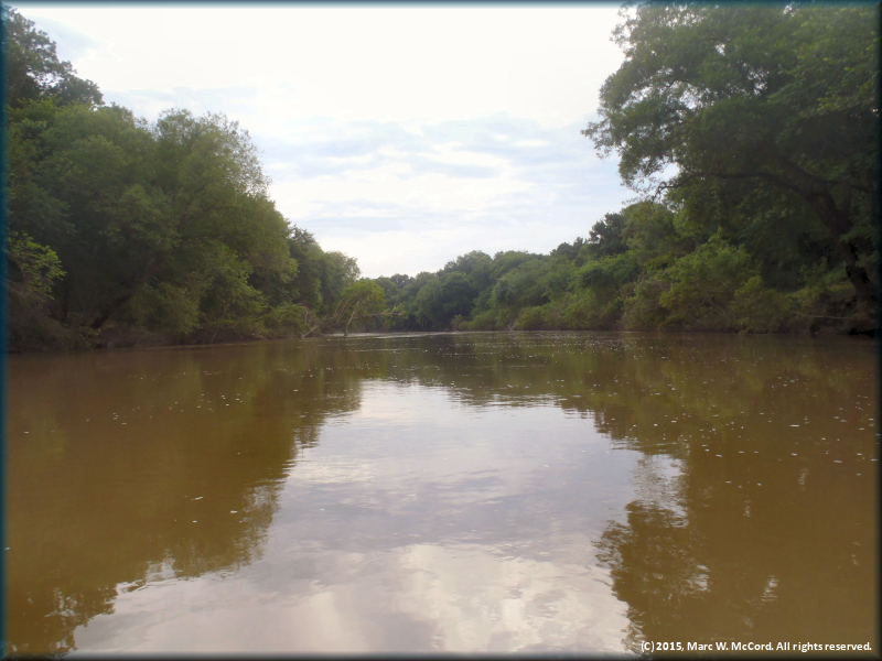
The Kiamichi River flowing through the Ouachita National Forest
The Kiamichi River above the first SH 2 crossing
Stan Pully lillydipping his merry way downriver
Trees that are normally on the river bank are in the river at 2,600 cfs
The river just keeps rolling along carrying us with it
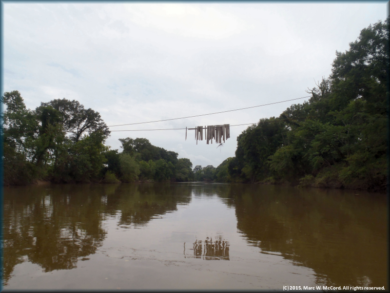
The remains of an elevated footbridge long since destroyed by Mother Nature and time
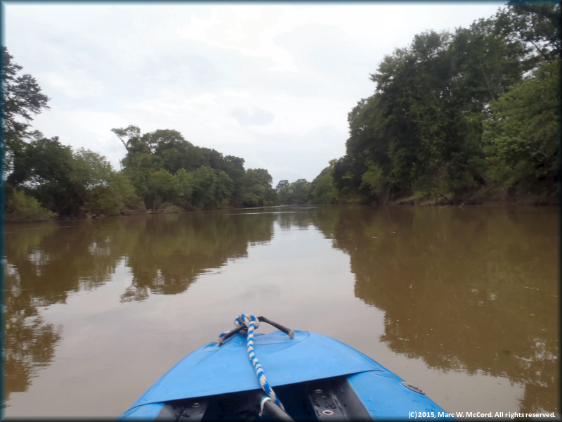
The imperceptible current carried us along at about 3 mph without paddling
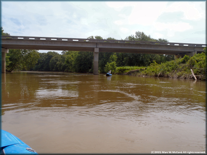
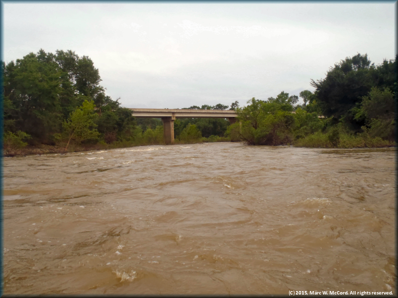
Approaching the first SH 2 Bridge
The Kiamichi River below the first SH 2 Bridge
Fallen trees constrict the entrance to a Class II rapid just above the second SH 2 Bridge
Approaching the second SH 2 Bridge
Trees show the effects of major flooding along the river channel
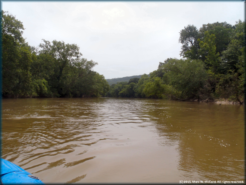
Approaching Lost Mountain
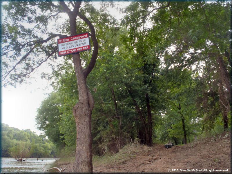
Approaching K River Campground
The last bend before K River Campground
The landing at K River Campground of river right